Join us for an insightful webinar with Robert Singleton, Greg Haigh and Marco Picardi from the Department for Transport (DfT), as we explore how transport and spatial planners, built environment professionals and geographers can use the DfT Connectivity Tool to unlock sustainable development opportunities and analyse the spatial connectivity of an area.
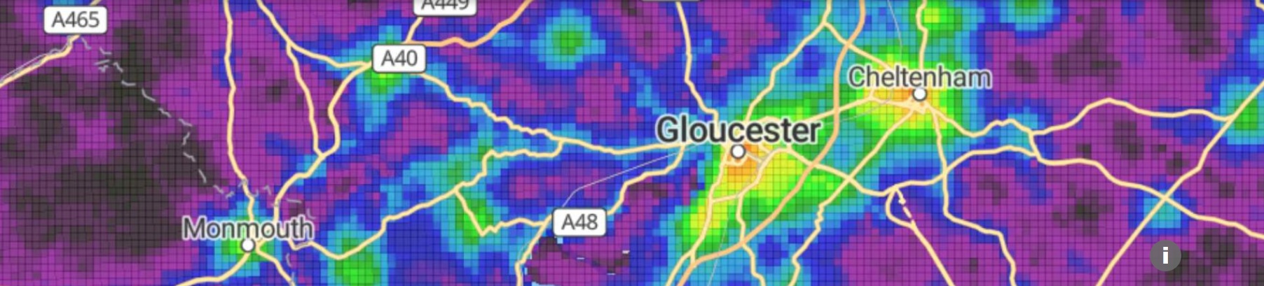
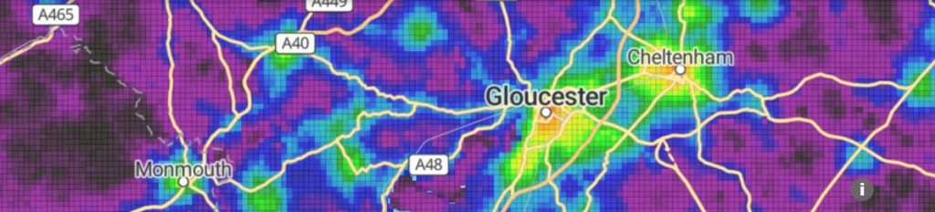
The DfT Connectivity Tool helps planners understand how well a place connects people to jobs, services and everyday destinations. It uses national transport and land-use data to show how accessible a location is by walking, cycling, public transport and car helping identify truly sustainable places.
[Tickets are free, but advance booking for this event is required. In order to book you will need an account on our website. If you already have an account you will be prompted to log in when you click ‘book now’. Please create an account if you do not have one yet (you do not need to be a member of the Society to create an account.)]