26 May 2022

This content is limited for members only
Within our member-only pages we provide a wide range of useful information resources including:- Recordings of our talks
- Presentations
- Academic research papers
- Case studies
- Guidance on standards and good practice
- Project opportunities
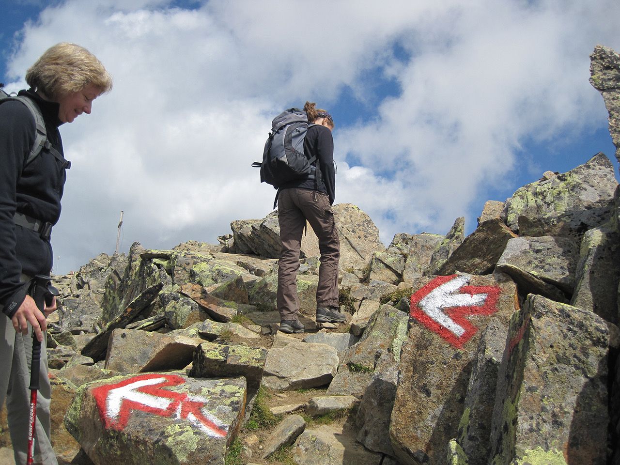
Outdoor adventuring should be fun but can be dangerous! Mountain rescue callouts involving people using battery-draining GPS mapping technology have increased, as have the number of inexperienced navigators getting lost in outdoor spaces. Professor Terry Moore‘s talk shared his experiences of outdoor navigation for adventure activities, including an introduction to the a new Royal Institute of Navigation (RIN) group he set up and chairs, the Outdoor Adventure Navigation Special Interest Group. His talk concluded with a discussion of seminar attendees’ experiences, and how better outdoor navigational practices can be promoted and wayfinding information and technology for different kinds of outdoor adventure activity designed. On a related subject, Paul Naylor from Ordnance Survey explored the evolution of maps over time, and what they tell us about how we position ourselves in the world today, with an explorative focus on history and data visualisation.
About our speakers
Professor Terry Moore is an Emeritus Professor of the University of Nottingham. He was formerly the Director of the Nottingham Geospatial Institute (NGI) at the University of Nottingham and the Professor of Satellite Navigation. He is a Chartered Engineer, a Fellow and a Member of Council of the Royal Institute of Navigation (RIN) and currently the Immediate Past President of the RIN. He is also a Fellow and a Member of Council of the Institute of Navigation (ION). In 2013 he was awarded the RIN Harold Spencer-Jones Gold Medal, in 2017 the ION Johannes Kepler Award and in 2021 the IAIN John Harrison Award. He has many years of research experience in surveying, positioning and navigation technologies. He is a consultant and adviser to European and UK government organisations and industry.
Paul Naylor is a Technical Relationship Consultant for GeoDataViz, Ordnance Survey. He has over 20 years of experience in creating maps and visualising geographic data using a range of GIS, design, and web applications. Paul is also Vice-President and Programme Chair of the British Cartographic Society where he helps inform and educate on the benefits of good cartographic design.