This lecture shares the remarkable story of an overlooked map archive that reveals how maps have helped inspire some of the greatest scientific discoveries, but also led to terrible atrocities.
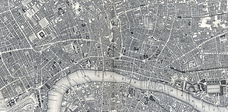
At the heart of University College London, nestled in the centre of Bloomsbury, lies a long-forgotten map library packed with thousands of maps and atlases. After Professor James Cheshire stumbled upon it, he spent three years sifting through hundreds of dusty drawers to see what was there. He was stunned to uncover some of the most significant maps and atlases from the last two centuries – many of which had not seen the light of day for decades.
This lecture will feature some of the treasures from UCL’s long-forgotten map library to reveal the importance of maps to some of the most significant moments in the 19th and 20th centuries. It will detail UCL’s unique place in the history of map making, which began when the university’s founders created a subscription atlas that became one of most successful series of maps ever created, with more than 3 million maps printed. Fast forward to the 1970s and UCL was also at the forefront of the revolution to develop “Geographic Information Systems (GIS)”, the basis to the digital maps we take for granted today. In his talk, James will reveal why cartography really matters and how map-making has helped transform our understanding of the world around us.
[Free for all. Please register to attend.]